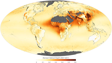
With over two weeks of compromised breathing from wildfire smoke in the Bay Area in each of the past 2 years, I began wondering: what data is available about dangerous air conditions around the country.
We just moved from Sonoma County, where we could see the flames of the 2017 fires, further south to where the smoke and in particular the PM2.5 particulate matter is surprisingly worse. I can’t find a site that shows historical data in an easy to understand format, so I am hoping to create one from the EPA’s datasets. I have just begun to explore the data and this is very much a work in progress, but it will give me a chance to apply some of the skills I have been learning using the DataCamp Data Scientist with Python Track and hopefully provide a useful resource to others who are concerned about smoke season.
GitHub repo here: SmokeCity

